| | | | | | |
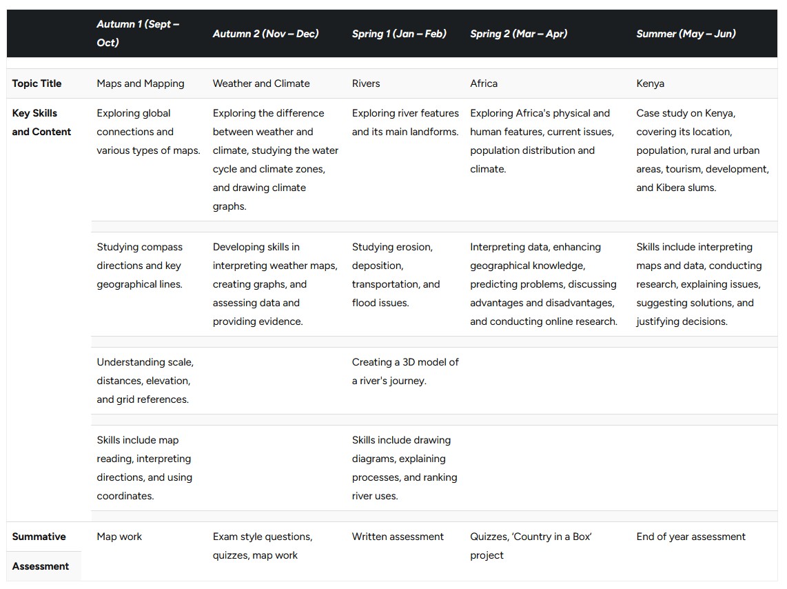
| Topic Title | | Maps and Mapping | Weather and Climate | Rivers | Africa | Kenya |
| Key Skills and Content | | Exploring global connections and various types of maps. | Exploring the difference between weather and climate, studying the water cycle and climate zones, and drawing climate graphs. | Exploring river features and its main landforms. | Exploring Africa's physical and human features, current issues, population distribution and climate. | Case study on Kenya, covering its location, population, rural and urban areas, tourism, development, and Kibera slums. |
| | | | |
| Studying compass directions and key geographical lines. | Developing skills in interpreting weather maps, creating graphs, and assessing data and providing evidence. | Studying erosion, deposition, transportation, and flood issues. | Interpreting data, enhancing geographical knowledge, predicting problems, discussing advantages and disadvantages, and conducting online research. | Skills include interpreting maps and data, conducting research, explaining issues, suggesting solutions, and justifying decisions. |
| | | | |
| Understanding scale, distances, elevation, and grid references. | | Creating a 3D model of a river's journey. | | |
| | | | |
| Skills include map reading, interpreting directions, and using coordinates. | | Skills include drawing diagrams, explaining processes, and ranking river uses. | | |
| | | | |
| Summative | | Map work | Exam style questions, quizzes, map work | Written assessment | Quizzes, ‘Country in a Box’ project | End of year assessment |
| Assessment |

